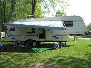
This blog is set up to record our adventure as we travel North America in our 5th wheel. We just retired this year and are staying at Wildwood Rv and Golf Resort.

Sunday, December 30, 2007

Chicken, Alaska-The last of the old frontier Alaska


Chicken is located 80 miles from Tok, Alaska, Population 21 in summer and 6 in winter. Although remote, Chicken is getting more and more traffic each year as the Klondike Loop grows in popularity. There is no city water, sewer or electric service in Chicken. However, it does have wells, generators and outhouses. Chicken was supposedly named by early miners who wanted to name their camp ptarmigan, but were unable to spell it and settled instead for chicken, the common name in the North for ptarmigan.
The older part of Chicken consists of restaurant, mercantile and salon. There are a couple of campgrounds, which we did not stay in, and a post office, which we didn't see. Early Chicken is best portrayed in a book "Tisha" which we read after we visited Chicken.


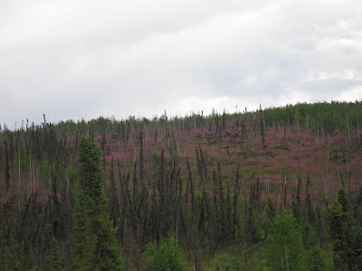
Fireweed


In Alaska where ever there was a fire the first growth is a flower called the fireweed and in some areas the hills are covered with the colour of magenta of the fireweed.

Coffee in Alaska

In Windsor, Ontario-Canada, we have Tim Horton's coffee restaurants what seems to be in every major intersection. Alaska has out done Windsor. There are a Espresso Huts what appears to be every half mile in every shape ( a coffee cup) and colour

Worthington Glacier State Recreation Site

From the parking lot there is a paved path up to the glacier. We went with Soozee in tow and me in sandals. We came to the end of paved path and we were allowed to continue to walk up to and onto the glacier. Stew and Soozee went on and Stew had the camera took a picture of Soozee on top of the glacier as I stayed behind because I wore sandals. Seeing that they were experiencing all the fun, I was determined to walk up to the glacier and off I went unaware that I was being photographed. I was glad that I did. once close up to the glacier it is dirty looking and is covered with sharp rock.


Horsetail Falls, Alaska


Soozee and Jasper


Our trip wouldn't be complete without some pictures of Soozee. She even made friends with Jasper, a party poodle , whose owners were great people and we spent in total a week together. Owners and dogs had a great time together.

Salmon Run

While at Valdez it was salmon run season. Outside of Valdez by the hatchery the salmon were running and the water was black with fish and you didn't need a fishing rod to catch fish, a pitch fork would have been sufficient. The sea gulls and the sea lions were also having a great feast.

Salmon Sharks at Port Valdez

Valdez, Alaska

Valdez is the southern terminus of the Richardson Highway and the trans- Alaska pipelines. population 4454. Valdez was established in 1897-98 as a port of entry for gold seekers bound for the Klondike goldfields. Until 1964 Valdez was located about 4 miles east of its present location, closer to Valdez Glacier. The 1964 Good Friday earthquake, the most destructive earthquake ever to hit south central Alaska, virtually destroyed Valdez. The quake measured 9.2 on the Richter scale. After the quake the Army Corps of Engineers determined the town should be relocated. Construction of the trans-Alaska pipeline began 1974 and was completed in 1977. The 800 mile long pipeline begins at Prudhoe Bay on the Arctic Ocean and ends at the marine terminal at Port Valdez.

Bridal Viel Falls, Alaska


Thompson Pass, 27 mile glacier

The Richardson Highway goes thru interesting areas- the 27 mile glacier which is near Thompson Pass- steep grades, narrow lanes. Thompson Pass was one of the most difficult sections of pipeline construction, requiring heavy blasting of solid rock for several miles. The pipeline runs underground beside the road.


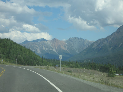
Richardson Highway


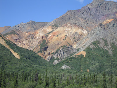
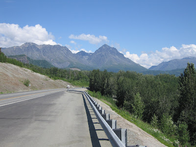
Richardson Highway is the route we used to go to Valdez, Alaska. As everywhere we traveled in Alaska the scenery was breath taking. The mountains where awesome to behold.